South End
One of the country's largest intact Victorian row-house districts, with a dense network of leafy residential squares.
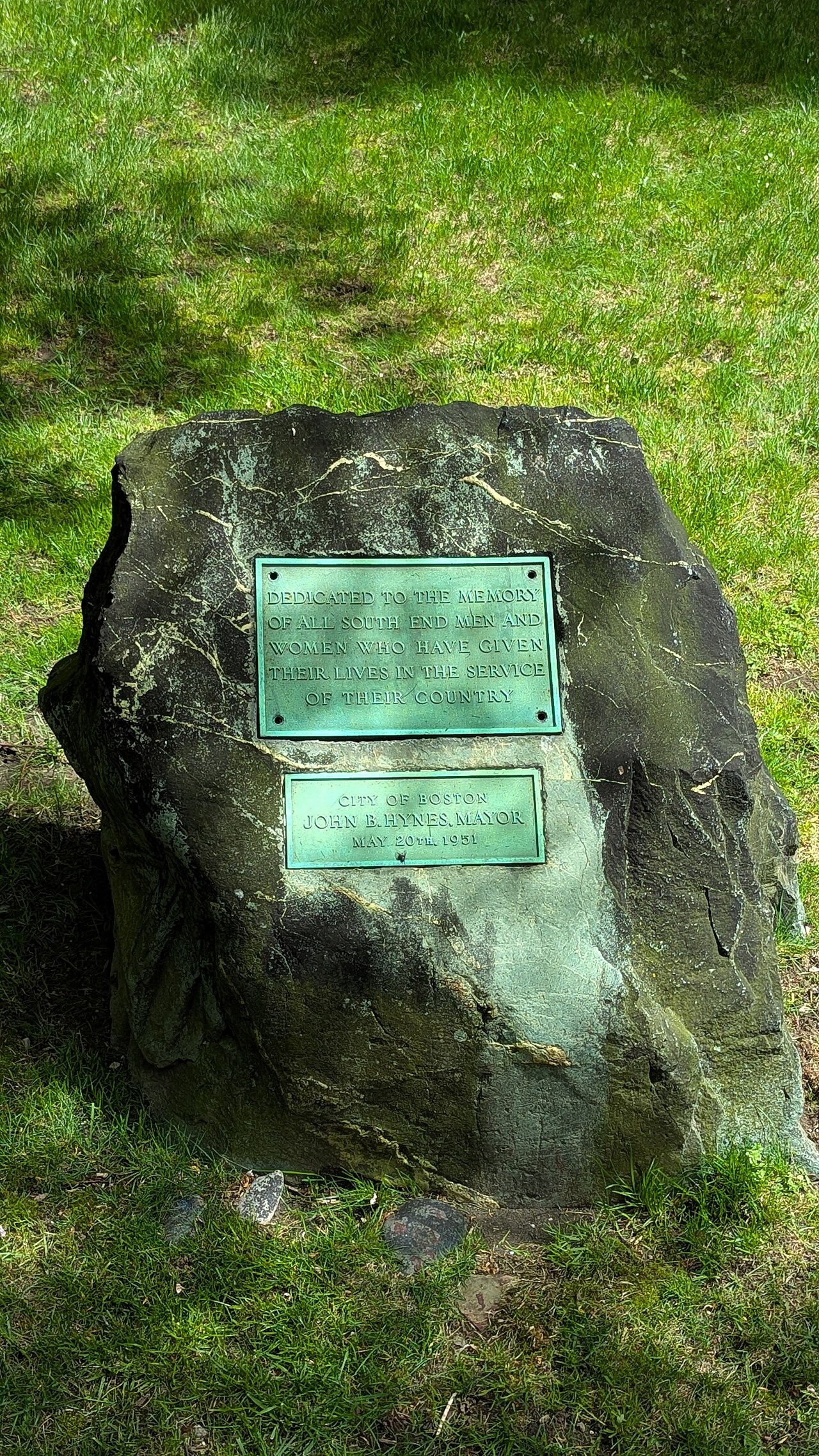
We are still building out the on-the-ground record for South End. For now, the map below shows the closest activity we can point to.
South End on the map
Around South End
No mapped items sit exactly inside South End today, so here is the nearest activity on the Boston map. Each one links back to its public record.
Needle Pickup
4d agoNeedle Pickup. Status: open. deacon st & w concord st
Improper Trash Storage
26d agoImproper Trash Storage. Status: open. 13-15 worcester st, boston, ma 02118
Needle Pickup
10d agoNeedle Pickup. Status: open. 761 harrison ave, boston, ma 02118
Needle Pickup
12d agoNeedle Pickup. Status: open. 40 worcester st, boston, ma 02118
Now open: P & Y Ventures Inc
Jul 26, 2026restaurant. New or newly licensed business in Roxbury.
Improper Trash Storage
26d agoImproper Trash Storage. Status: open. 771 harrison ave, boston, ma 02118
City meetings affecting South End
These citywide boards (zoning, planning, licensing, schools) set decisions that reach every neighborhood, including South End. Agendas are public.
Recent coverage
Briefs that focus on this neighborhood will appear here.