Boston runs through its institutions: City Hall, universities, hospitals, developers, sports venues, neighborhood groups, and public agencies. This map shows how the public record connects them. Start with a question, filter to a group, or search a name, then open anyone to see the connections.
Connections shown here are public-record relationships, not allegations.
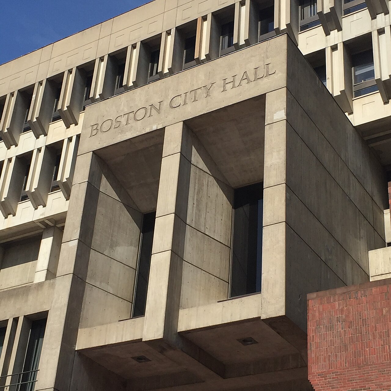
Boston City Hall, Government Center
Boston City Hall, Government Center · Wikimedia Commons · Photo by CommonKnowledgeCreator, CC BY-SA 4.0
Start with a story
Who touches development decisions in Boston?
68 entities · 16 connections
This map shows public-record relationships. It does not allege wrongdoing.
The cards below are a guided read of the same public record you can explore in full further down the page. Each name links to its profile and the sources behind it.
The decision path
Large Boston projects often move through the same public bodies: planning and design review at the BPDA, zoning relief at the Zoning Board of Appeal, attention from the City Council, and permitting and inspections. These are the bodies that appear most in the record for development decisions.
Public filings with the Massachusetts Office of Campaign and Political Finance (OCPF) record contributions from real estate, construction, and business committees to Massachusetts political committees. This does not imply wrongdoing. It shows where political money is publicly recorded, in dollars, on the official register.
Every node and link on this map is a public-record relationship, not an allegation. A line between a committee and a candidate means a contribution is filed with OCPF. A line between a developer and a board means a project appears in that body's public docket. Read the map as a directory of who is documented near Boston's development decisions, then follow the source links on each profile to see the underlying records for yourself. Where the record is thin, the map says so rather than filling the gap.
Open questions
Neutral threads a reader or reporter could pull next, using the same public sources:
·Which projects on the docket need zoning relief from the ZBA?
·Which committees and PACs appear near active policy debates?
·Which vendors also appear in the city's recorded spending?
·Which names connect more than one of these bodies at once?
That is the short version. The full network, all 68 entities and 16 documented connections, is open to explore below.
Or explore the full map
The full network
Filter to a group, search a name, or open anyone to see the connections. This is the complete graph the story above is drawn from.
Start with a question
Filter by group
All of Boston
68 entities, most connected first
How the players connect
The most-networked names
Each block centers one entity and maps the parties it is documented to connect to, with the relationship on the link. These are the names that carry the most connections in the public record right now.